I was invited to speak and show new work as part of the Winter Lecture series of the Scottish Historic Buildings Trust on November 12th 2025 at Riddles Court, Edinburgh. I created an original, stitched map showing the route of the Granton Burn rising at the top of Corstorphine Hill not far from the Scott Tower, and flowing down to Royston / Granton / ‘The Brick’ Beach and into the Firth of Forth.
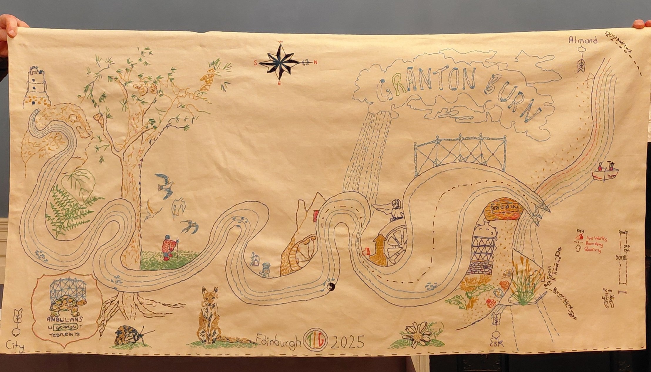
The Granton Burn, a new textile map stitched by Tamsin Grainger November 2025. Tamsin Grainger reserves full copyright of the map and images of it (in full and in part)
The map references Patrick Geddes’ Valley Section – showing a cross section of landscape from hill to coast, in this case in North Edinburgh.
The Granton Burn is rich in history, though only part of it visible above ground in the private gardens of Caroline House and in Forthquarter Park (rerouted).
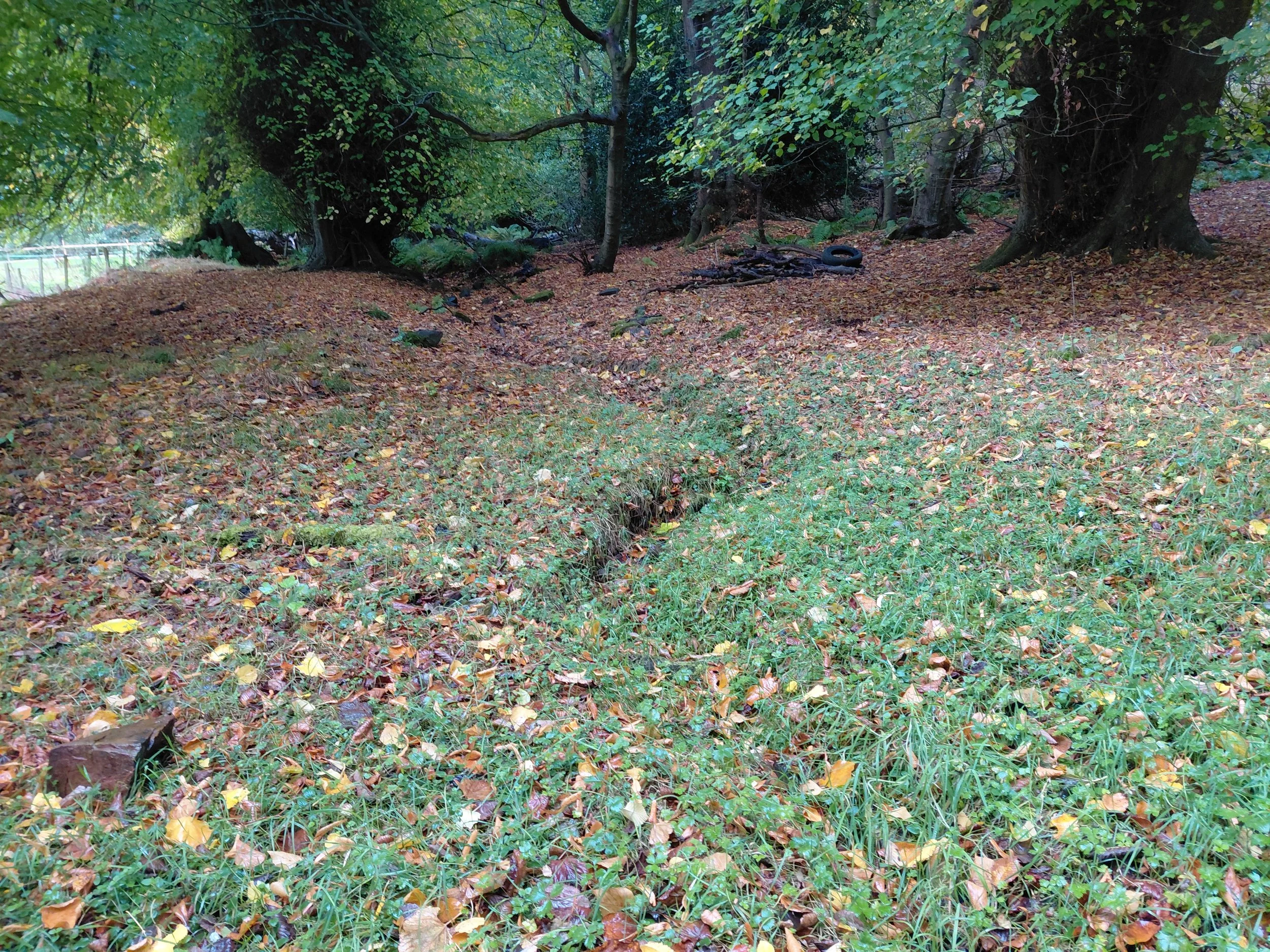
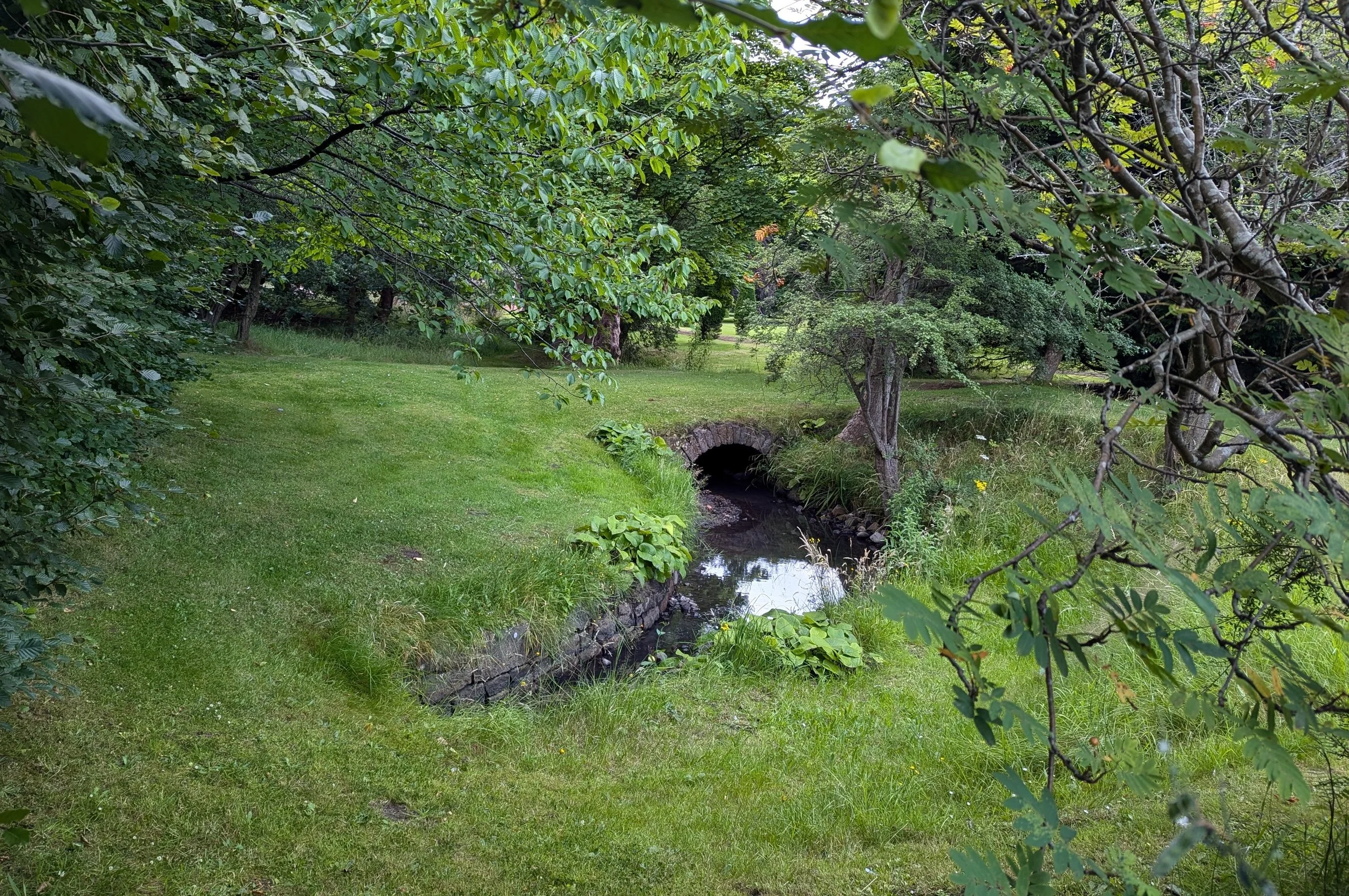
Captions for the above photos: Location of the Granton Burn at: left - Corstorphine Hill, and right - Caroline Park, Granton
Imagine you are buried in the ground up to your armpits! This map is no bird’s eye nor drone-view. Rather, it foregrounds the river itself, looping above and below earth level, and features many examples of local wildlife, flora and fauna found in the Granton area, from a curlew and fox to ragwort and flat oyster shells. Together with the people and the soil itself, the Granton Burn and more-than-human lifeforms are the indigenous beings of Granton and this map respects them as such.
What is shown on the Granton Burn map?
Flowing under rocks (famous for their cups), the Granton Burn continues through woodland (oak, birch, ash and here, Scots Pine) and grassy hillside as well as flatter land (where someone walks, reminiscent of the figure in the VIII Cups tarot card designed by Pamela Colman Smith). There are details from building which relied on its water – amongst others, a mill, the sphinx from Madelvic House (home of United Wire and the Electric Car Company), Mushet’s iron works, the Northern Lighthouse Board building (1860s), and the iconic Granton gastower (recently painted and decorated). The latter is also part of my coat of arms which features the Granton Tortoise (story here) and the Latin script, ‘Ambulans ut Testudinis’ (Walking Like a Tortoise) referencing an earlier walking art project.


Images above from The Granton Burn, a new stitched map - details
This new map reflects May East’s advice not to rely on old maps when navigating changing urban landscapes. It is embroidered in the colours found on the 1835 Bartholomew map and the 1867 Parish Johnston Plan, and the sea is stitched in all of those different colours because, I have been told by many residents, it flowed sometimes pink, sometimes other hues according to which ink had been dumped in there by local company, A. B. Fleming.
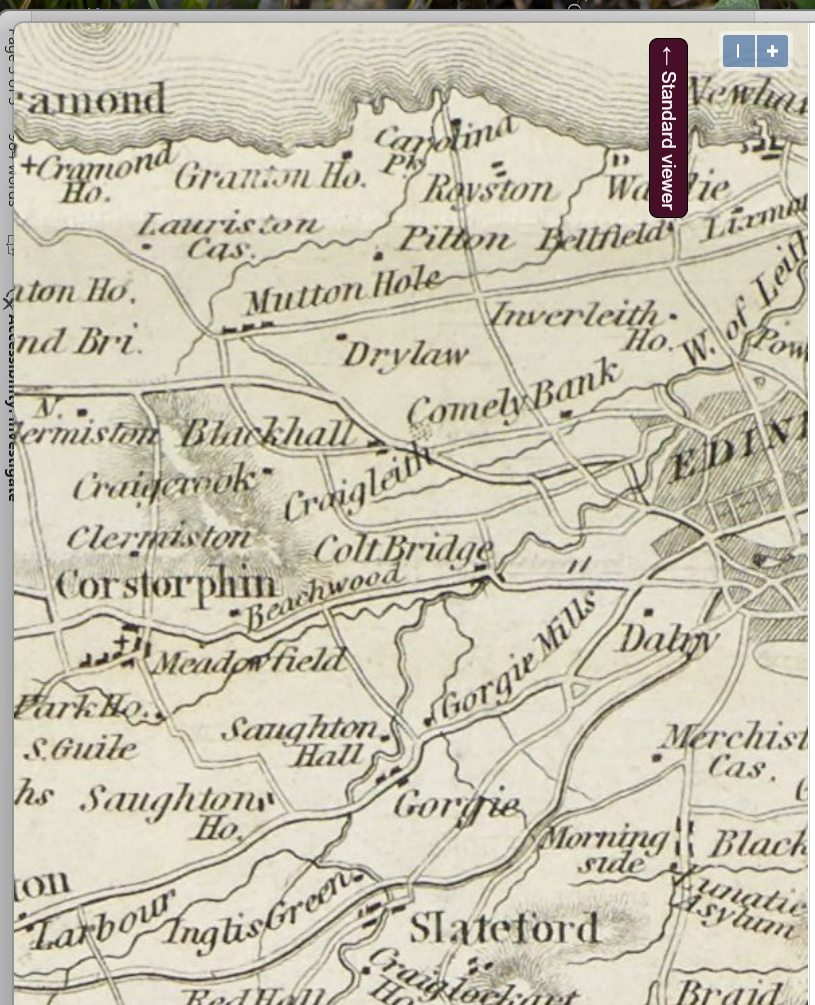
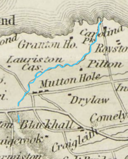
Captions for the above photos: Old map showing the wiggly line of the Granton Burn beginning at the coast and ending on the norther side of what is now Queensferry Road, at the foot of Corstorphine Hill
The mouth of the Burn is a particular jagged shape, as seen on the Edinburghshire map of 1914. It is unclear exactly where it opens into the sea nowadays, but is likely to be close to the sewage pipe. Certainly the drains beyond the Sea Gate of Caroline Park frequently overflow, suggesting that the Burn crosses or streams along the road.
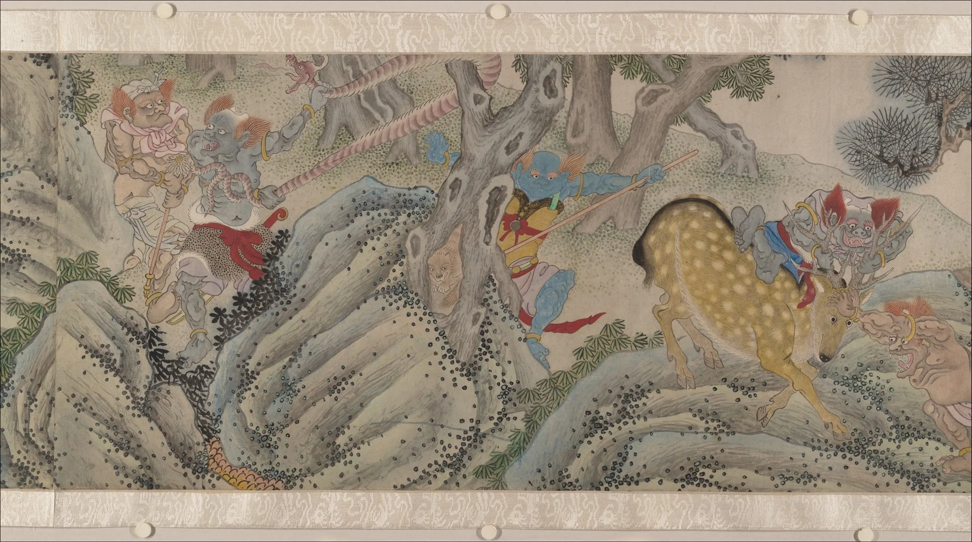
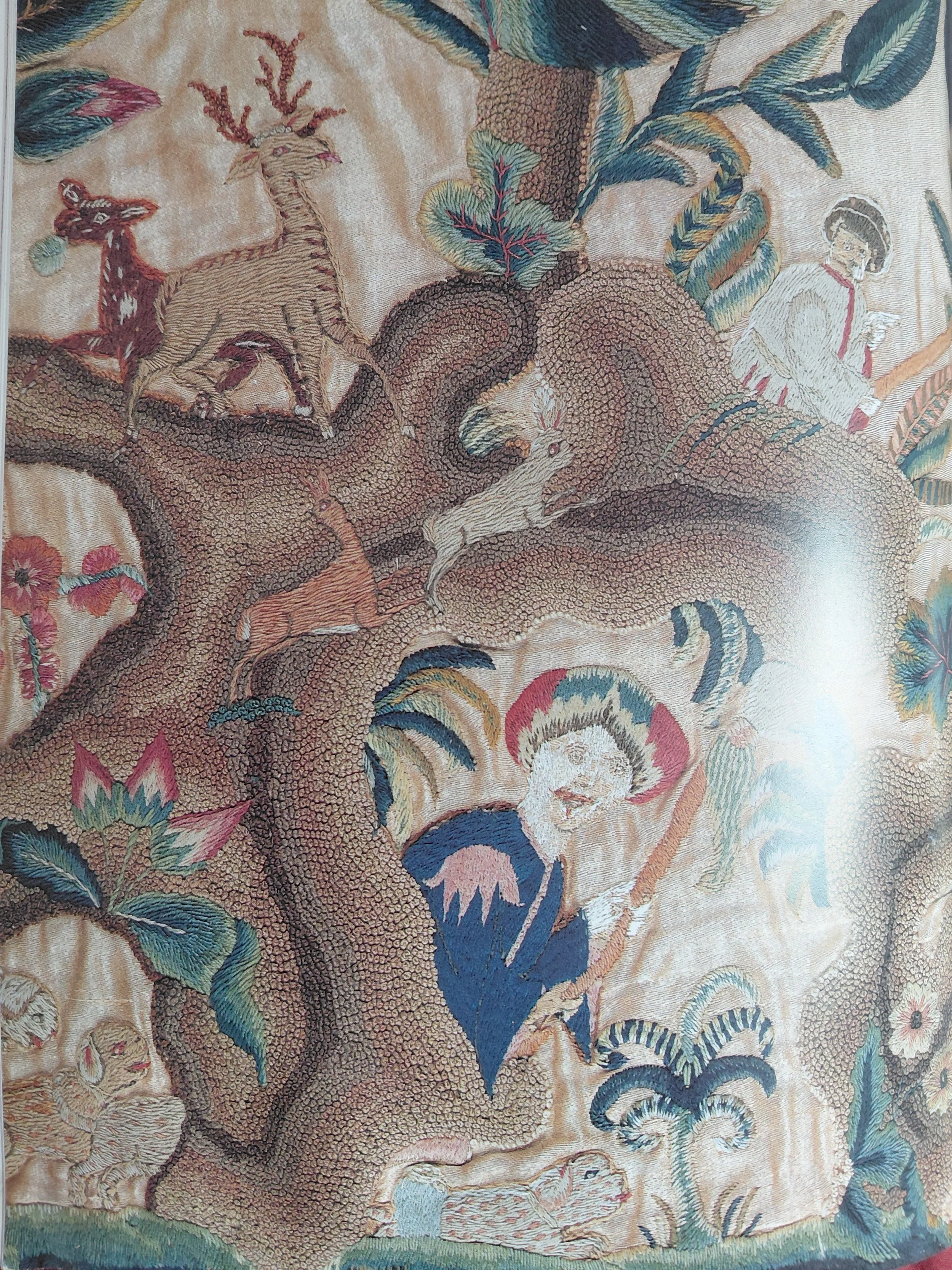
Captions for the images above: Inspiration came from many sources including, on the left: The Kunlun Mountains (httpsopen.muhlenberg.pubchinasmagicalcreatureschapterthe-classic-of-changes-yijing); Right: various examples of crewel work in the Museum of Scotland such as the Tree of Life, late 17th c
Other embellishments come from a variety of sources. The arrows can be found on the weather vane on top of the lighthouse, and the north-point of the compass from the Drainage Plan of the Edinburgh Leith and Suburbs map, 1867. And I measured the route in my human footsteps (the walk from hill to sea was approximately 9000 steps) which, according to the scale of this map, is 1:42.86.
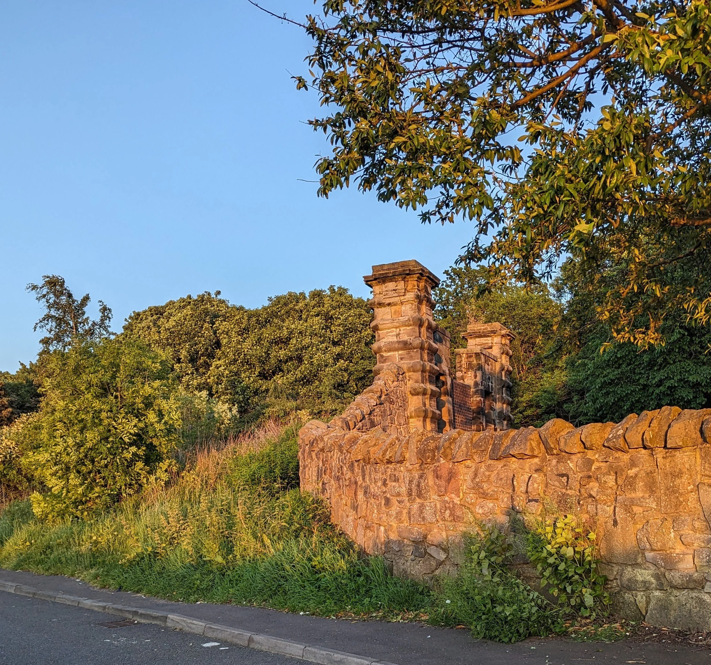
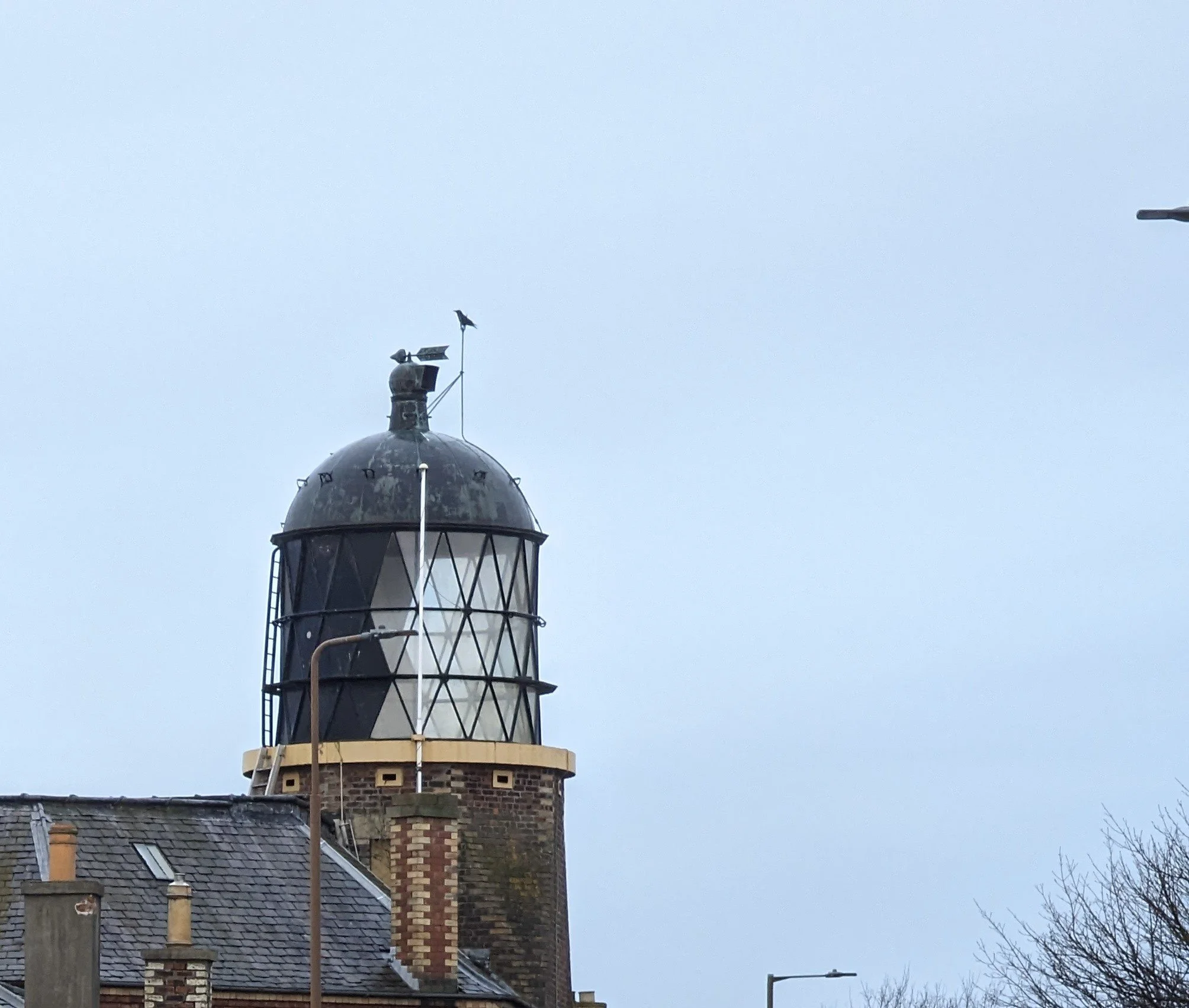
Captions for the above photos: Left: Caroline Park Sea Gate near where the Granton Burn flows, Edinburgh Right: The Granton Lighthouse (a training and storeage area for the Lighthouse Board) on West Shore Road, Edinburgh. Photo by Tamsin Grainger
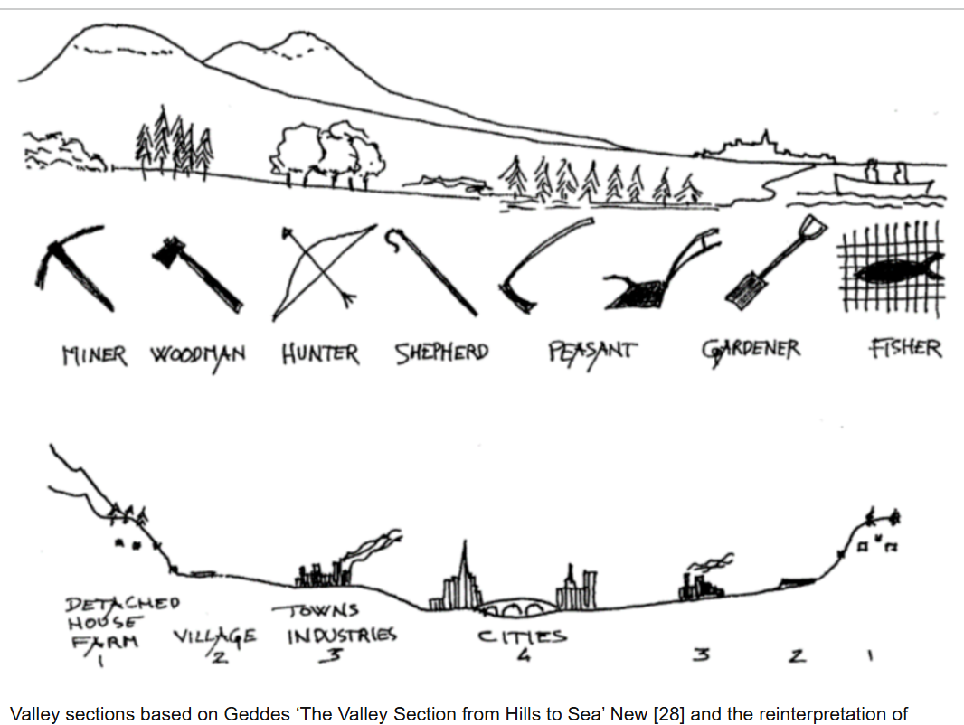
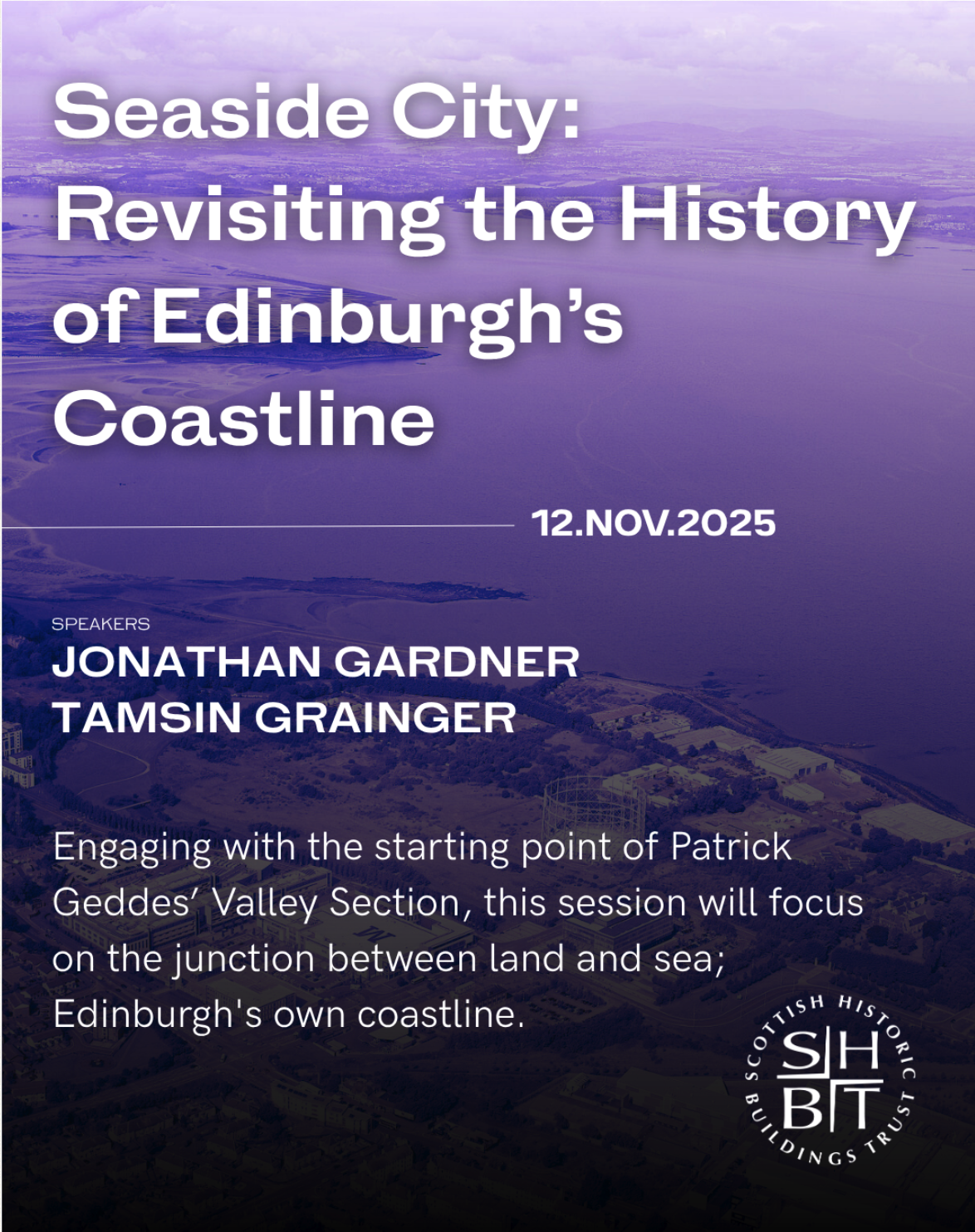
Captions for the above images: Left, The Valley Section, Patrick Geddes (1910) Edinburgh University Library; Right: Scottish Historic Buildings Trust advertising poster for the Edinburgh Coastline event, November 2025